Categoria principale per Mappe Fontainebleau Mappa Fontainebleau
Immagini di Fontainebleau Mappe Fontainebleau mappe di Fontainebleau guide di Fontainebleau
Mappe Fontainebleau
Mappe Fontainebleau: |
|
 immagine... |
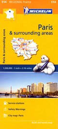
Regione Parigina / Île-de-France / Paris and surrounding areas - mappa stradale Michelin n. 514 - con Paris / Parigi, Versailles, Nanterre, Saint-Germain-en-Laye, Saint-Denis, Bobigny, Créteil, Évry, Palaiseau, Rambouillet, Étampes, Melun, Fontainebleau, Meaux, Provins, Pontoise, Mantes-la-Jolie - mappa stradale con stazioni di servizio e autovelox - nuova edizionemappa stradale Michelin » acquista |
 immagine... |
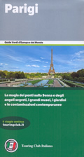
Parigi e Ile-de-France - con La Defense, i Bois, i musei, Versailles e Fontainebleauguida turistica Touring Club Italiano » acquista |
Altri collegamenti per Mappe Fontainebleau:
Altre categorie: Mappe Mappe stradali del Mondo Europa Francia

